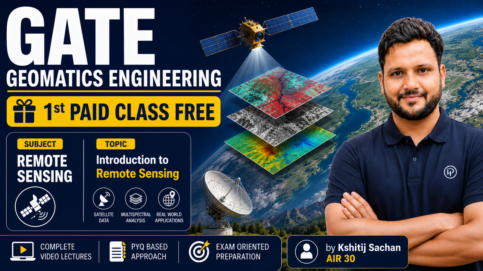
Unlock the power of spatial data and remote sensing in this comprehensive online course. Whether you're looking to analyze environmental changes, manage resources, or develop innovative geospatial applications, this course will equip you with the essential skills and knowledge to excel in the dynamic fields of data analysis, remote sensing, and geo-informatics.
What You Will Gain:
- A deep understanding of the principles behind remote sensing and geospatial data acquisition.
- Proficiency in analyzing and interpreting satellite imagery and other spatial datasets.
- Hands-on experience with industry-standard geo-informatics software and techniques.
- The ability to extract meaningful insights and make informed decisions using spatial data.
- Skills to visualize and communicate complex geospatial information effectively.
- Knowledge of applications in various sectors, including environmental monitoring, urban planning, agriculture, and disaster management.
Key Highlights:
- Comprehensive Curriculum: Covers fundamental concepts to advanced analytical methods.
- Practical Applications: Real-world case studies and examples to illustrate concepts.
- Skill Development: Focus on building practical, in-demand skills for the geospatial industry.
- Expert Insights: Learn from established principles and methodologies in the field.
- Flexible Learning: Study at your own pace, anytime, anywhere.
This course is ideal for:
- Students and researchers in geography, environmental science, urban planning, and related fields.
- Professionals working with spatial data, GIS, or remote sensing.
- Anyone interested in understanding and utilizing the power of location-based data.